
Geospatial


Information is Everything.
We are continuously expanding our geospatial capabilities by adding cutting-edge equipment to our inventory and ensuring our staff is trained and skilled in the use of the latest of the ever-evolving geospatial information technology.
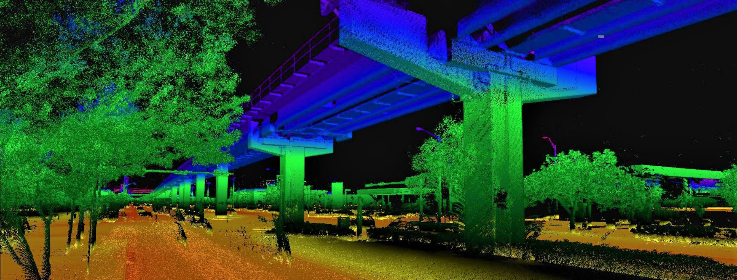
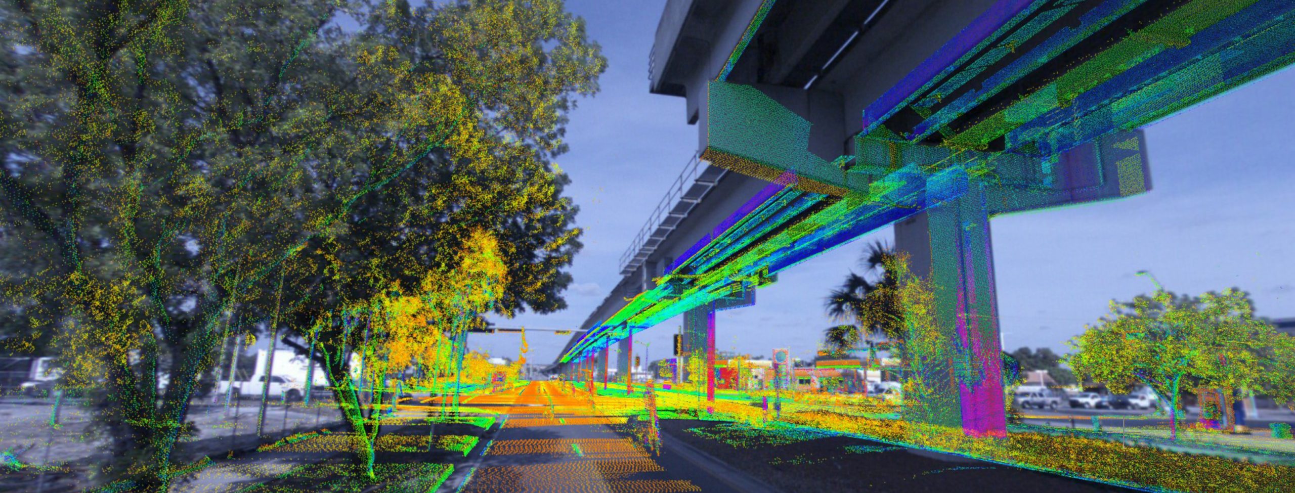
The ability to simultaneously capture a multitude of data and assets offers enormous savings to our projects. Using our state-of-the-art equipment and solutions in the field nearly eliminates human error. By providing real-time information, we can quickly and safely provide precise data, allowing our clients to perform more efficiently for better decision making. We offer a wide range of enhanced imaging and remote sensing applications, including LiDAR, supported by effective modeling, design, and GIS tools. Our innovative use of technology, artificial intelligence, and automation provides customizable solutions to meet any of our clients’ needs.
State-of-the-Art Technology
– Terrestrial/Mobile LiDAR
– Static LiDAR Scanner
– USV Survey Boat
– Multi-Beam Sonar
– UAV Drone
– 2D & 3D GPR
Geospatial Benefits
– Save time & money
– Enhance safety for the public & staff
– Eliminate need to return to the field
– Minimize disruptions to the traveling public
– Faster high-quality data collection
– Eliminate human error
GEOSPATIAL SERVICES
– 3D Laser Scanning
– 3D Subsurface Utility Modeling
– Aerial Imagery
– Aerial LiDAR Data Acquisition
– Airport Data Collection
– As-Built Surveys
– Asset Encroachment
– Asset Inventory/Management
– Automated Feature Extraction
– Bathymetric/Hydrographic Surveys
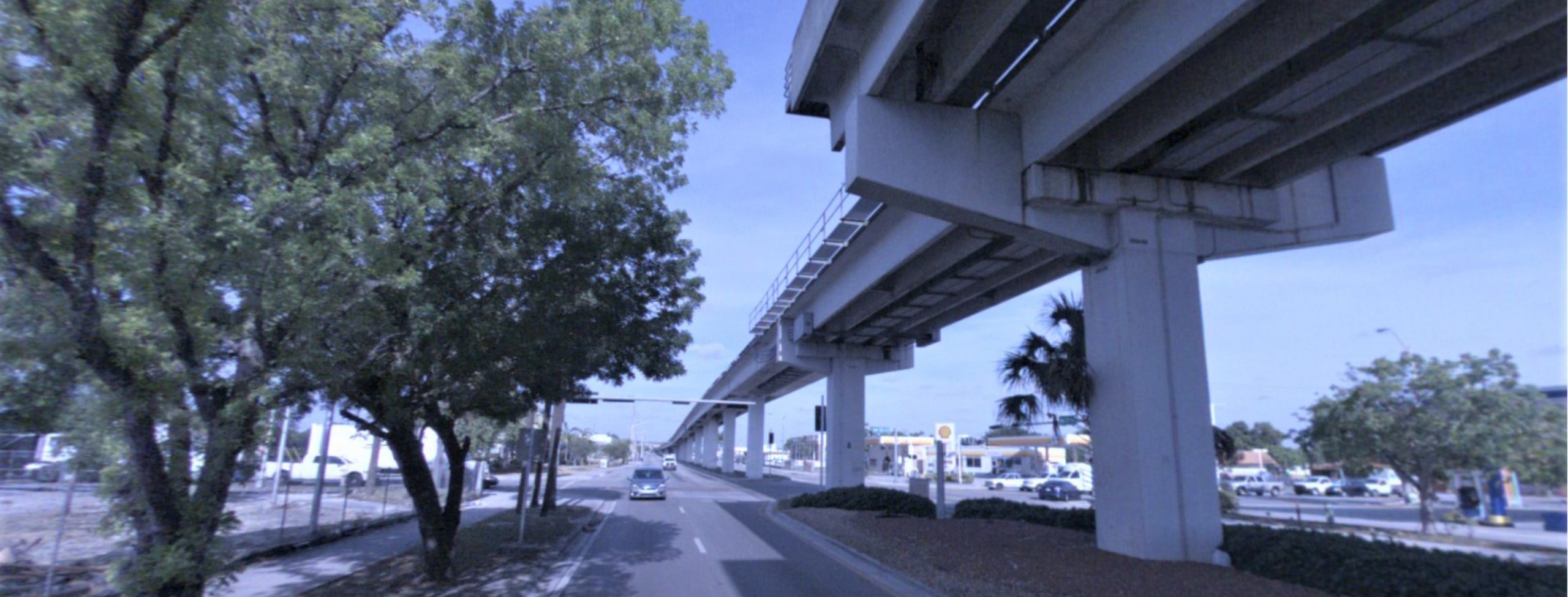
– Bridge Surveys
– Clearances
– Coastal Management & Restoration
– Condition Assessments
– Contingency Planning for Natural Disasters
– Construction Assessment/Monitoring/Scheduling
– Corridor Mapping
– Crash Analysis and Reporting
– Curve & Grade
– Dam/Levee Collection
– Data Analytics
– Deformation Modeling
– Digital Terrain Models
– Drainage Design
– Emergency Response Plan
– Environmental Monitoring & Studies
– Feature Extraction
– Flood Mapping & Analysis
– Forensics
– Geographic Information Systems (GIS)
– GPS Surveys
– Haul Routes
– Heritage/Historical Preservation
– High Accuracy Cross Slope Analysis
– Intersection Modeling
– Land Use Planning
– Mobile LiDAR Data Acquisition
– Nighttime Mobile Mapping of Road Surface Luminance
– Pavement Condition Assessments
– Pre- & Post-Storm Planning & Assessment
– Rail Highway Crossing Inventory (RHCI)
– Rail Inspection
– Railroad Mapping
– Right-of-Way Imaging
– Roadway Characteristics Inventory (RCI)
– Roadway/Highway Design
– Route survey (Powerline, Gas, Oil, etc.)
– Shoreline Mapping
– Sign Retroreflectivity Data
– Straight-Line Diagram Survey
– Strategic Land Use & Urban Planning
– Streetscapes
– Surface Models
– Topographic Mapping
– Tunnel Mapping
– UAV/Drone Mapping
– Underground Structure Mapping
– Urban Modeling
– Utility Design
– Utility/Electric Corridor Mapping
– Vertical & Horizontal Clearances
– Volumetric Calculations