
GIS & Asset Management
Collecting Accurate Data to Enhance Decision Making.
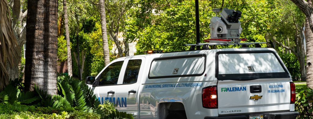
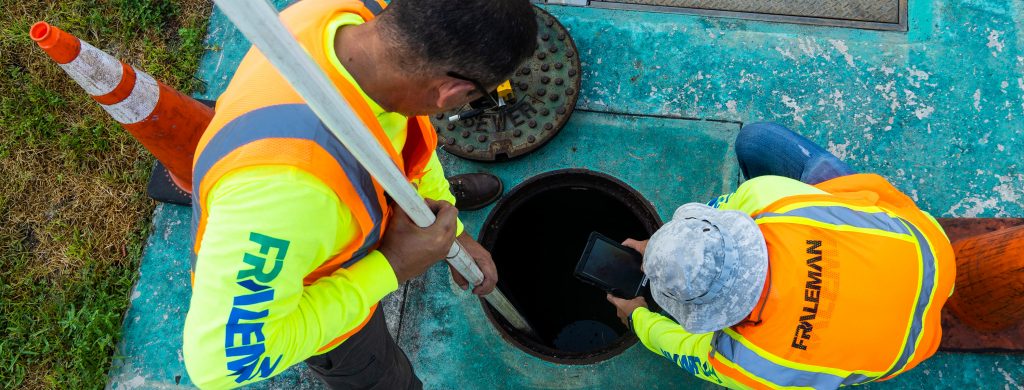
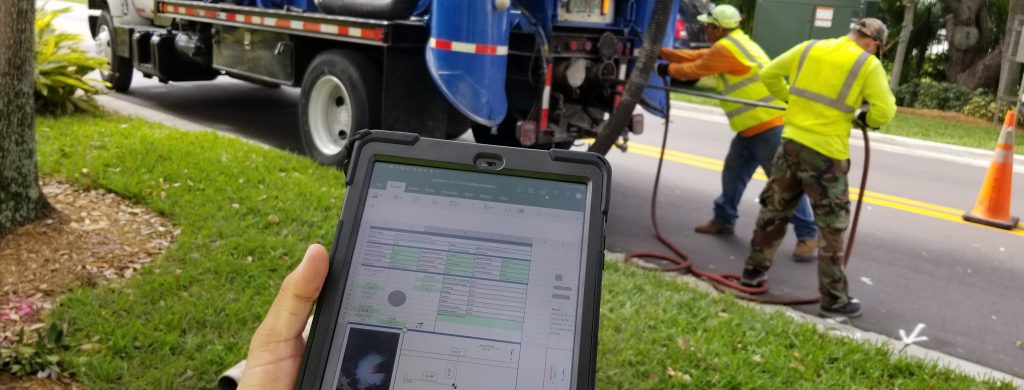
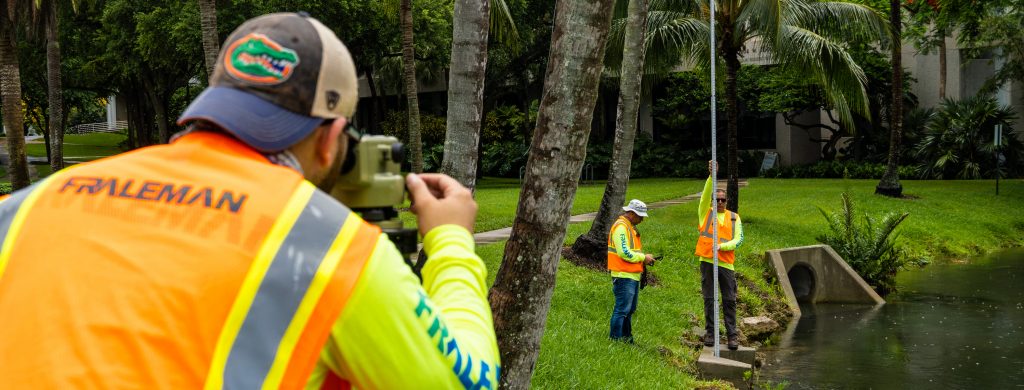
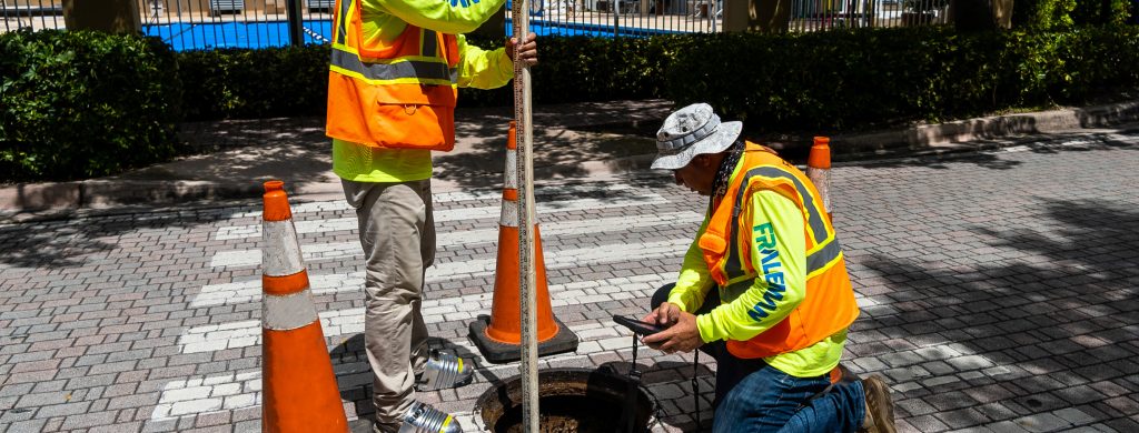
We use LiDAR to simultaneously collect regular imagery, allowing us to capture all visible assets, even in dense and challenging environments. We inventory nearly all transportation and infrastructure assets combined with Geographic Information Systems (GIS) data to provide precise details and information. GIS data can provide age of the material and past maintenance, giving our clients real-time tracking and management of assets, enabling them to make more informed decisions.
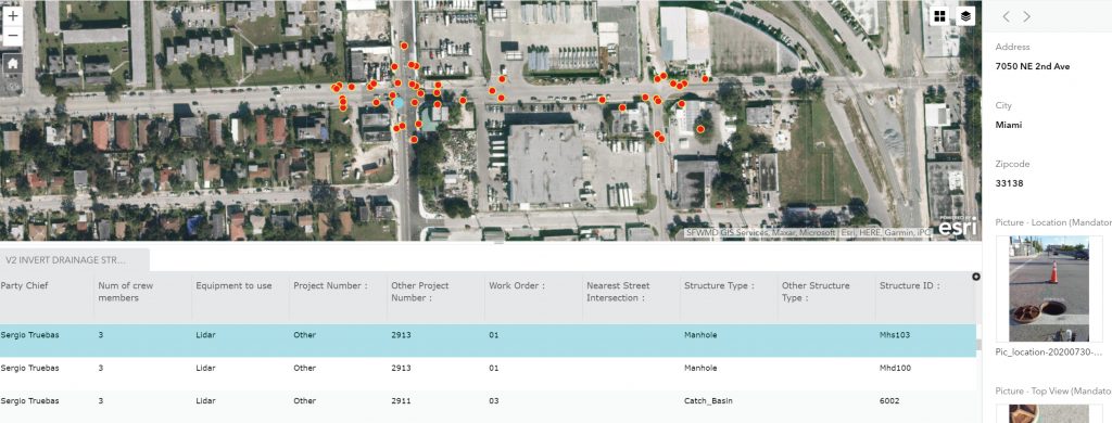
Using artificial intelligence, features are automatically extracted directly from LiDAR point cloud data. We can create a customized geodatabase structure and easily adapt it to any existing GIS architecture. The features extracted from the point cloud can be used by and for a multitude of markets, clients, and agencies.
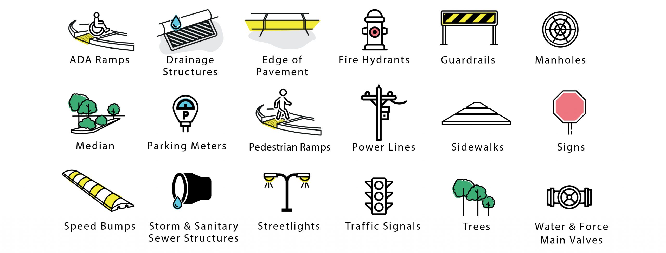
The typical assets that can be extracted automatically from LiDAR data include, but are not limited to:
GIS & Asset Management Services
– Database Management
– Development & Implementation of Custom Solutions
– Geo-Referenced Data Capture
– GIS Needs Assessment
– GPS Data Collection
– Land Base Mapping
– Mapping
– Mobile Field Applications
– Modeling
– Property Record Mapping
– Software & Application Development
– Spatial Analysis
– Survey123
– Utility Mapping