
Resilience & Sustainability
Providing Informative Data to Prepare for our Future.
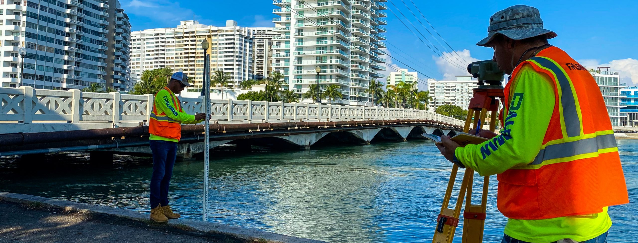
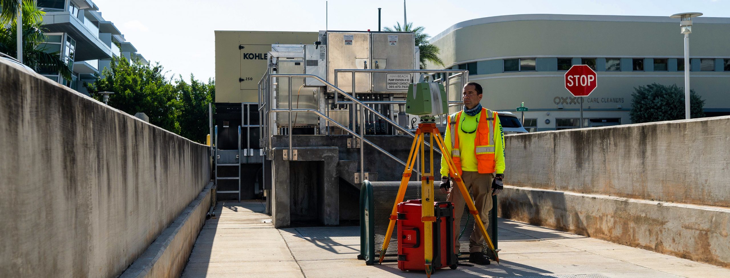
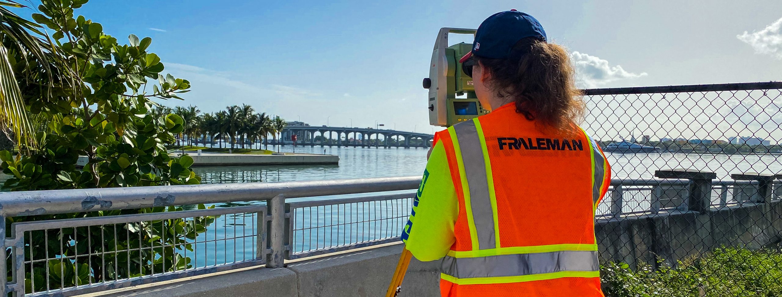
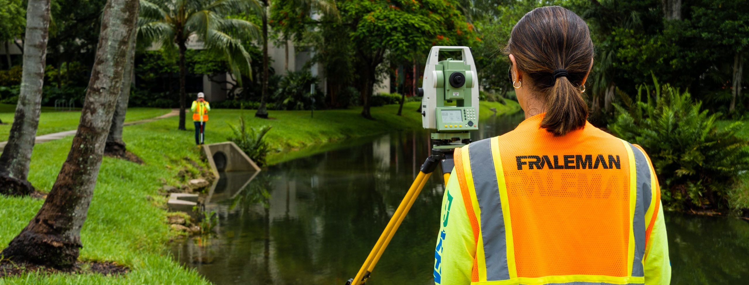
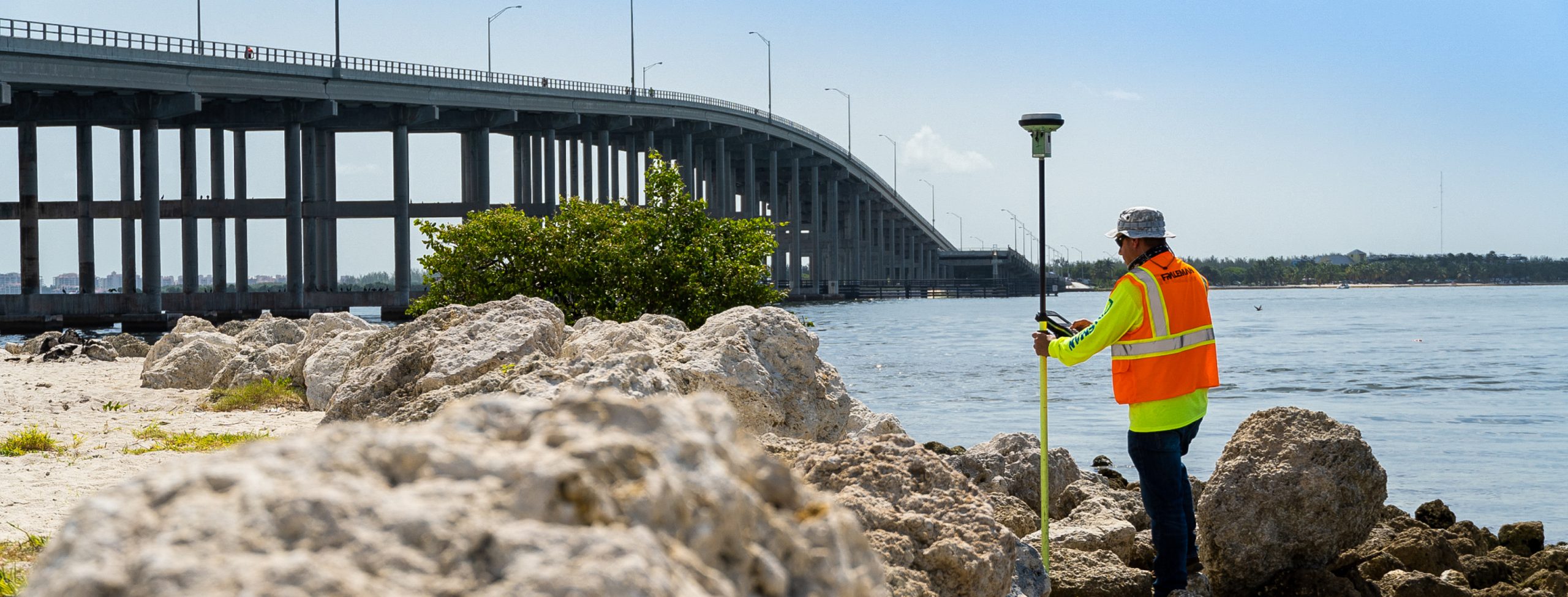
We adapt to any environment in the field and combine our geospatial equipment with innovative methods to collect data for a wide range of coastal, environmental, and infrastructure engineering needs. We understand the challenges decision makers are faced with in dealing with sea level rise and coastal hazard risks from storms and extreme weather.
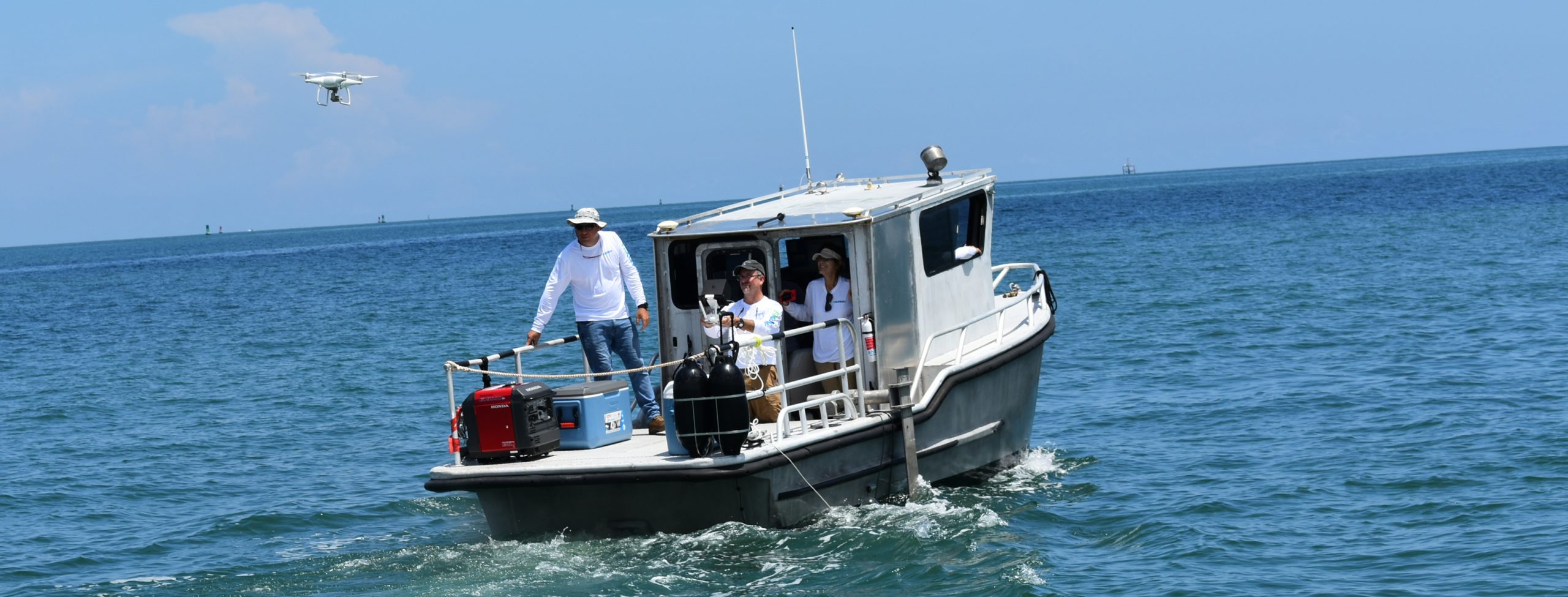
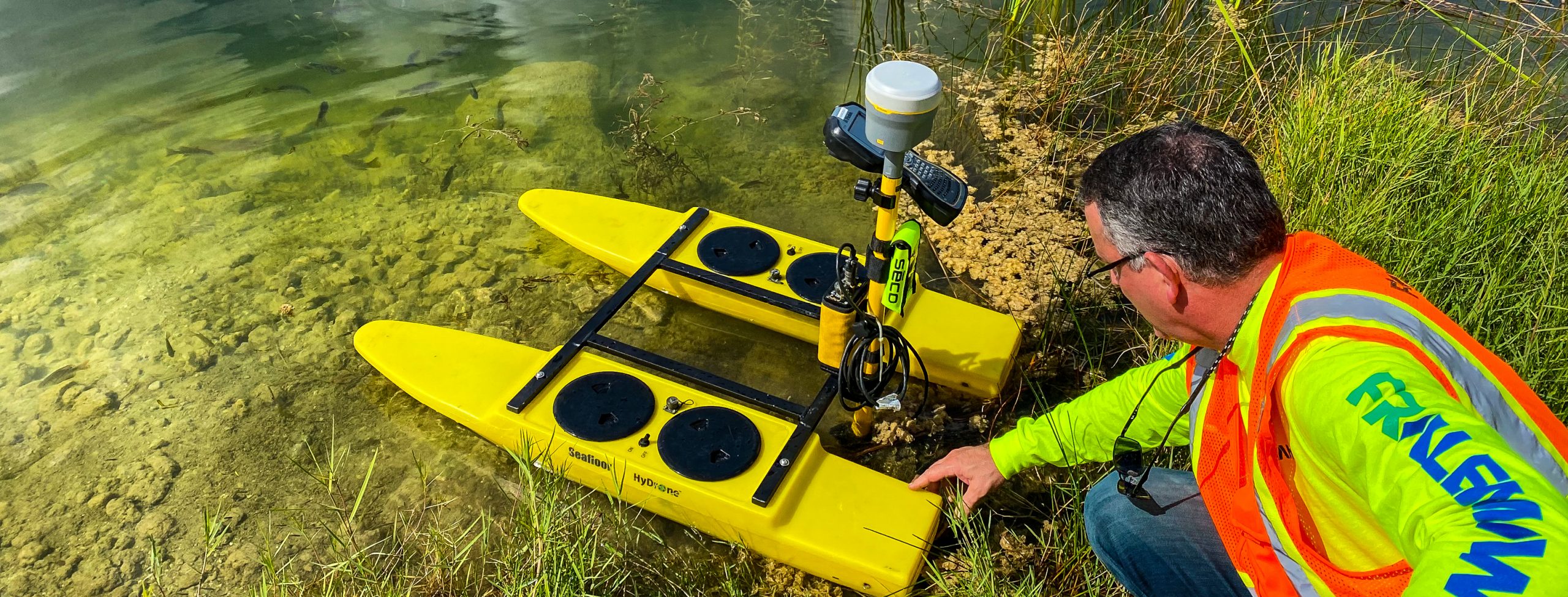
We build data driven solutions for our clients with our command of advanced technologies, such as multi-beam sonar, unmanned aerial vehicles, and underwater drones to efficiently provide quick, real-time data for decision making, future planning, and pre- and post-storm assessments. To provide expertise and advanced service, our team includes Certified Floodplain Managers and Master Divers.
Resilience & Sustainability Services
– 3D Subsurface Utility Modeling
– Bathymetric/Hydrographic Surveys
– Coastal Management & Restoration
– Sea Level Rise Assessments
– Condition Assessments
– Contingency Planning for Natural Disasters
– Dam/Levee Collection
– Drainage Design
– Emergency Response Plan
– Finished Floor Elevations
– Flood Mapping & Analysis
– Mean High Water Line Surveys
– Pre- & Post-Storm Planning & Assessment
– Shoreline Mapping & Seawall Assessment
– Submerged/Filled Lands Surveys
– Surface Models
– Underground Structure Mapping
– Volumetric Calculations