
Surveying & Mapping


Safely & Accurately Collecting & Processing Survey Data in Real-Time.
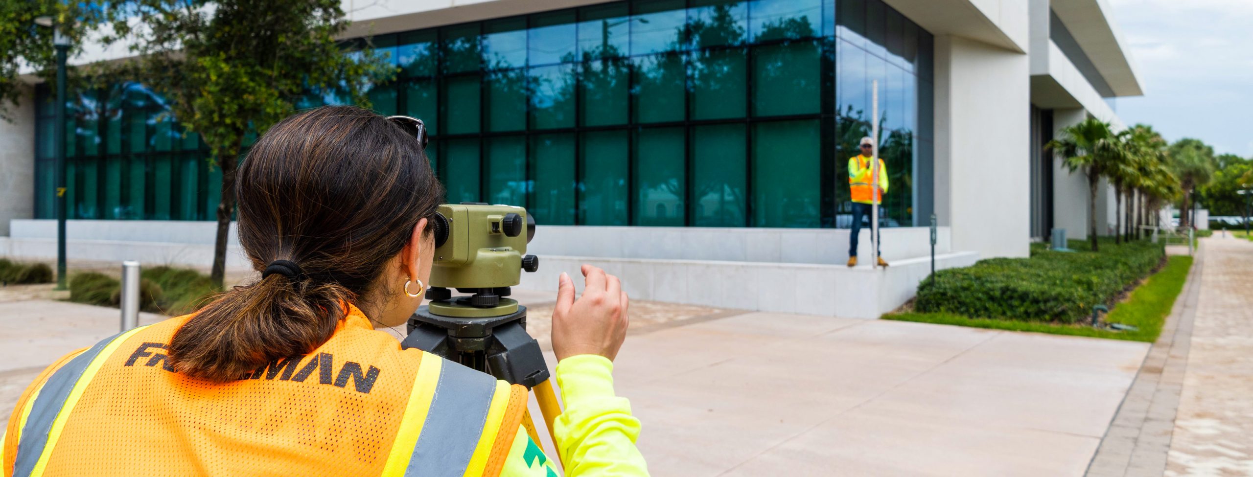
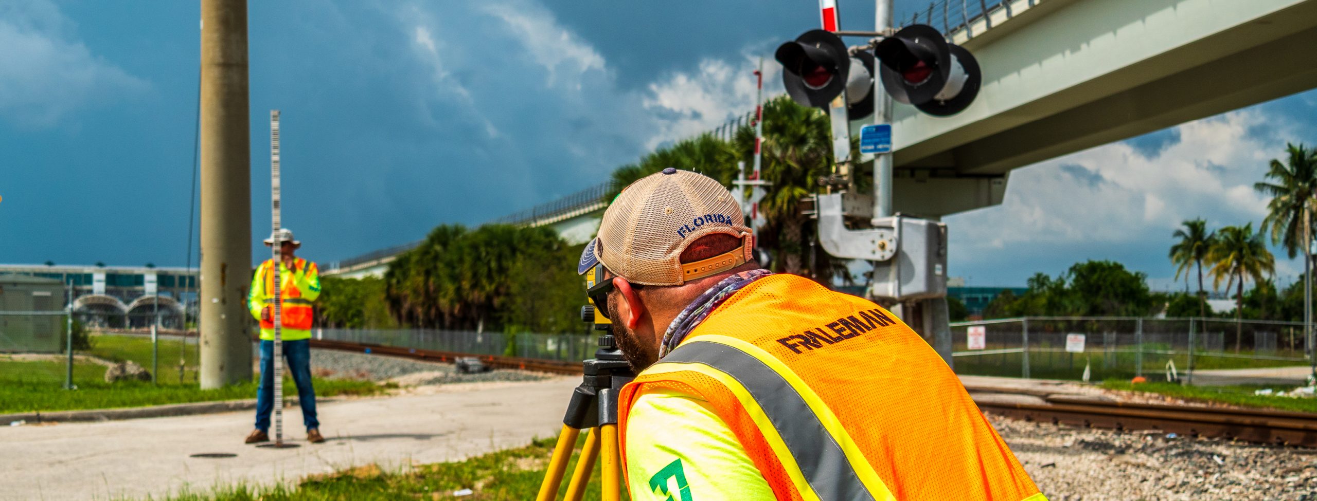
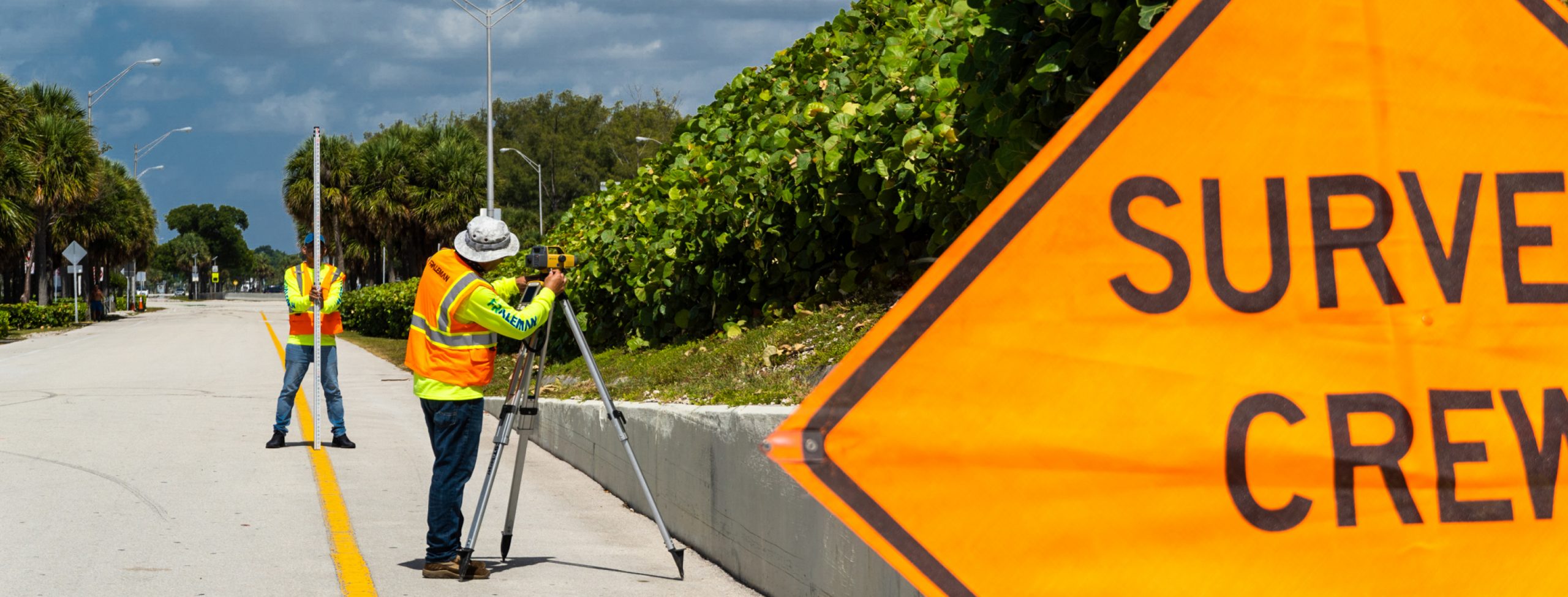
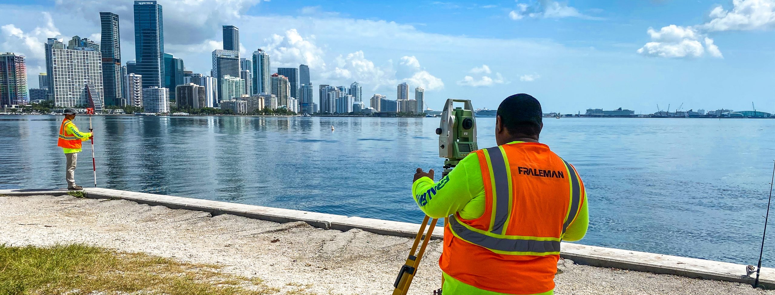
We have quickly adapted our traditional surveying and mapping services to the future of the industry today by adding cutting-edge capabilities and acquiring state-of-the-art equipment.
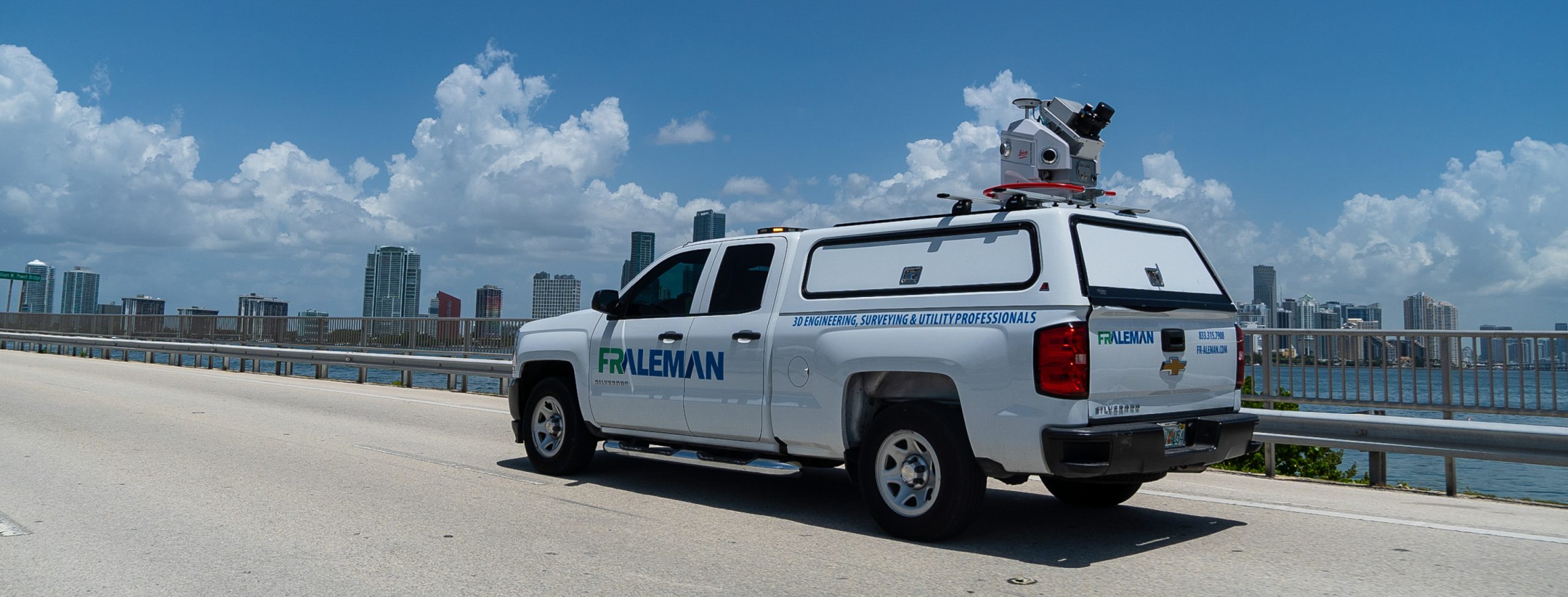
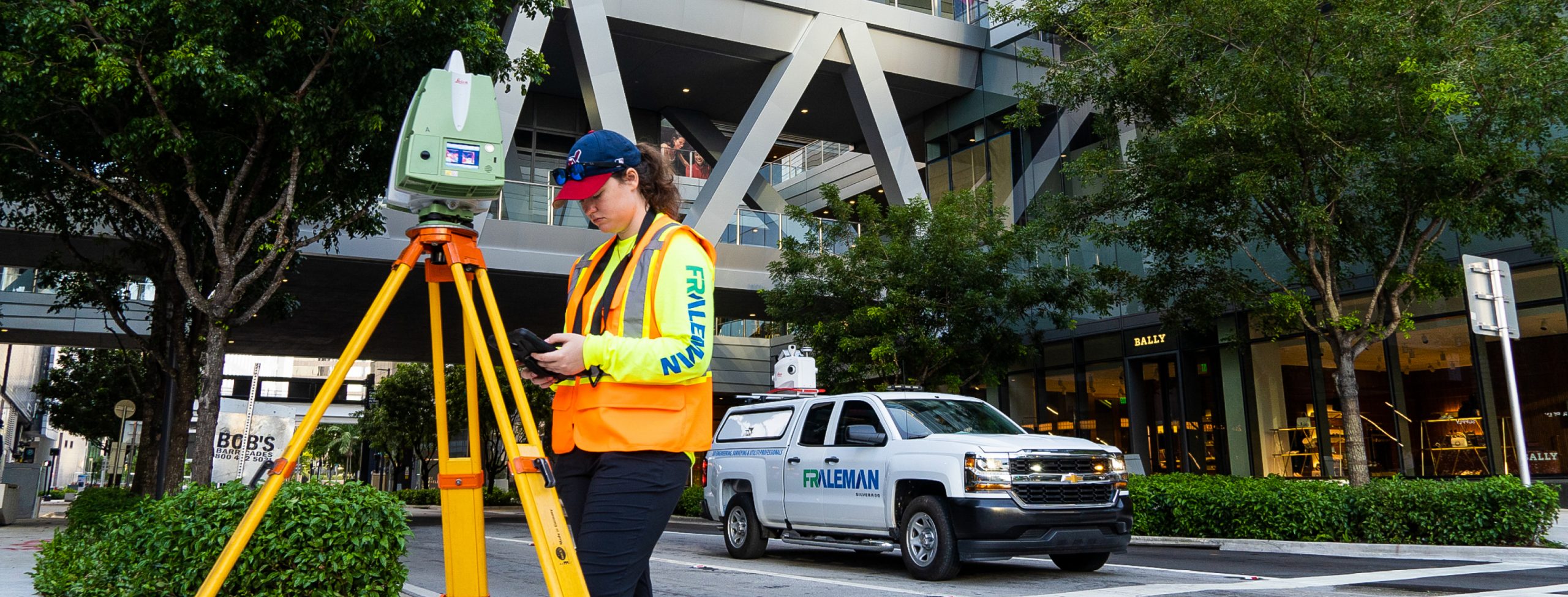
We are trained and highly experienced in the use of sophisticated equipment, including static, mobile, and aerial LiDAR and unmanned aerial vehicles (UAVs) that safely cover large areas and challenging terrain in a short amount of time. We combine smart equipment with our 3D mapping and geospatial expertise to deliver a high-tech all-in-one approach for our clients’ survey needs. Our team includes senior-level Professional Surveyors & Mappers and highly experienced Certified Survey Technicians, ensuring our clients receive the highest quality product.
Our portfolio includes numerous multi-million-dollar districtwide, citywide, countywide, and statewide surveying and mapping contracts, as well as project-specific design and construction projects.
Surveying & Mapping Services
– Aerial Photogrammetry
– As-Built Surveys
– Boundary & ALTA/NSPS Surveys
– Bridge Survey
– Channel Survey
– Construction Surveying/As-Builts
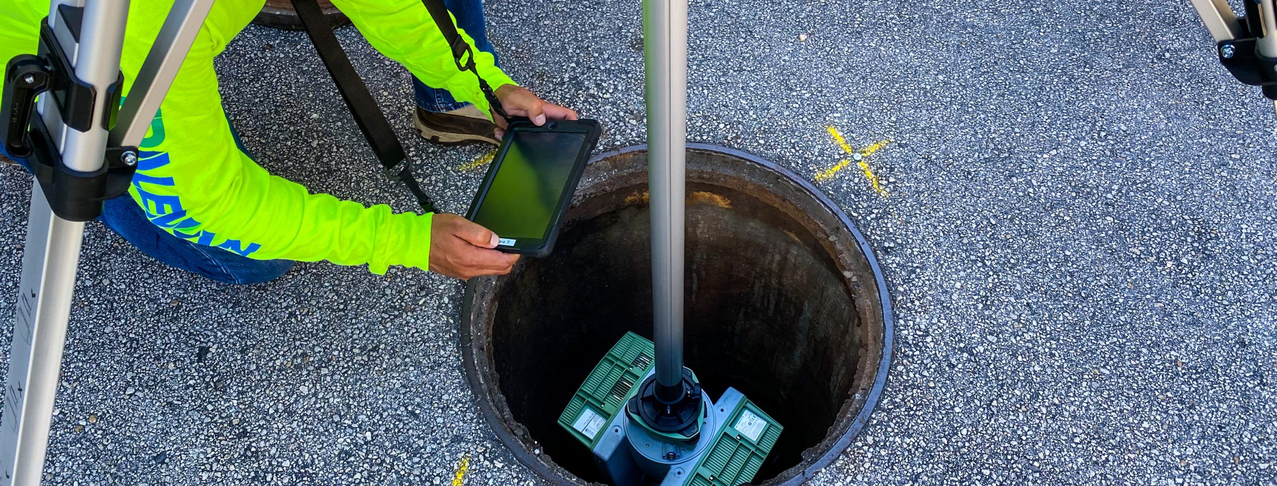
– Control Survey
– Design Survey
– Drainage Survey
– Emergency Response Plan
– Geographic Information Systems (GIS)
– Geotechnical Support
– GPS (Static, Rapid Static, RTK, Point-to-Point & Network)
– Horizontal & Vertical Project Control
– Hydrographic/Bathymetric Survey
– Jurisdictional Line Survey
– Legal Descriptions/Platting
– Maintenance Maps
– Mitigation Survey
– Mobile LiDAR
– Right-of-Way Mapping
– Right-of-Way Monumentation
– Right-of-Way Survey
– Runway Elevation Survey
– Outfall Survey
– Planimetric Survey
– Pond Site Survey
– Pre- & Post-Storm Assessment Survey
– Sectional/Grant Survey
– Side Street Survey
– Subsurface Utility Survey & Mapping
– Terrestrial LiDAR/High-Definition Laser Scanning
– Topographic Survey & Geodetic Control
– Tree Survey
– Unmanned Aerial Vehicle (UAV) Imaging & Mapping
– Vegetation Survey