Client
Florida Department of Transportation, District 6
Location
Sunny Isles Beach, FL
Services Provided
Market
Transportation – Roadways, Highways & Bridges
Atlantic Isles – 3D Design/Topographic Survey
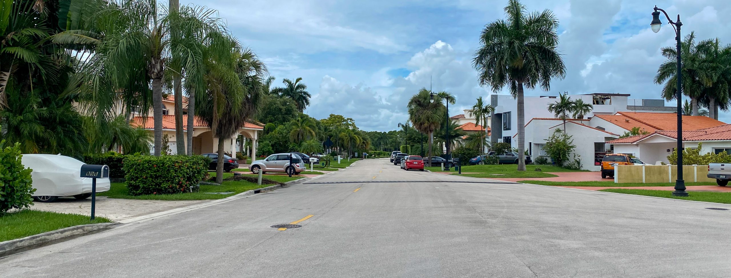
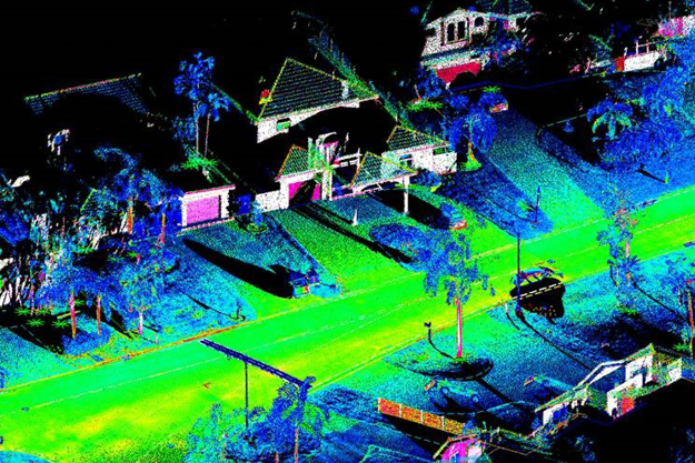
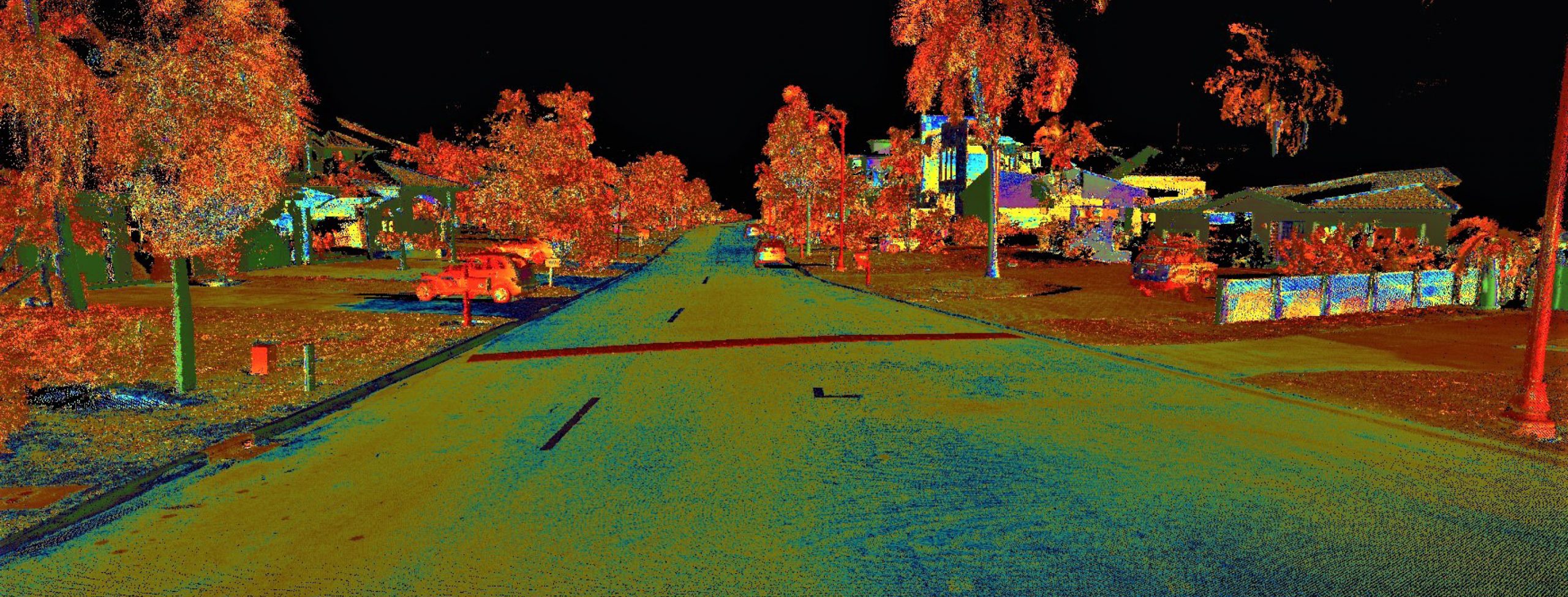
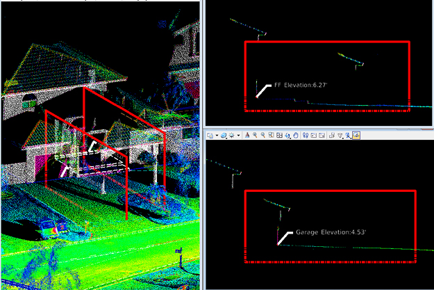
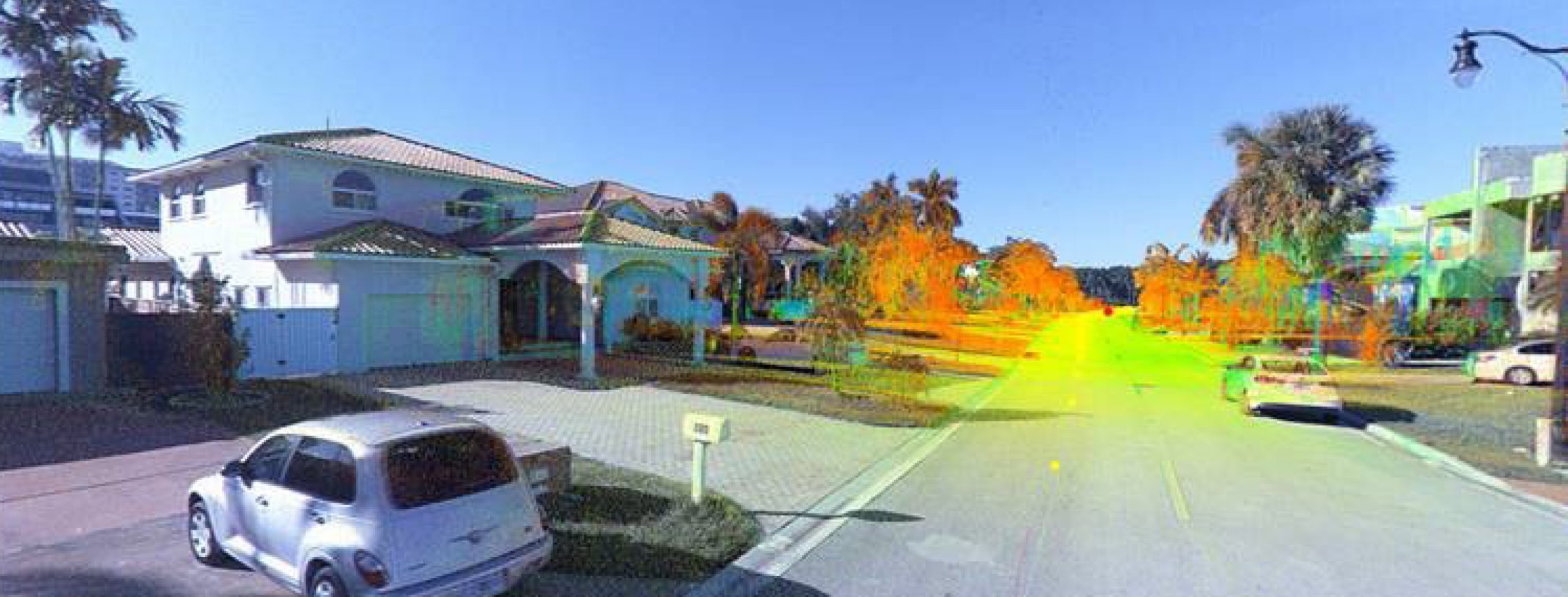
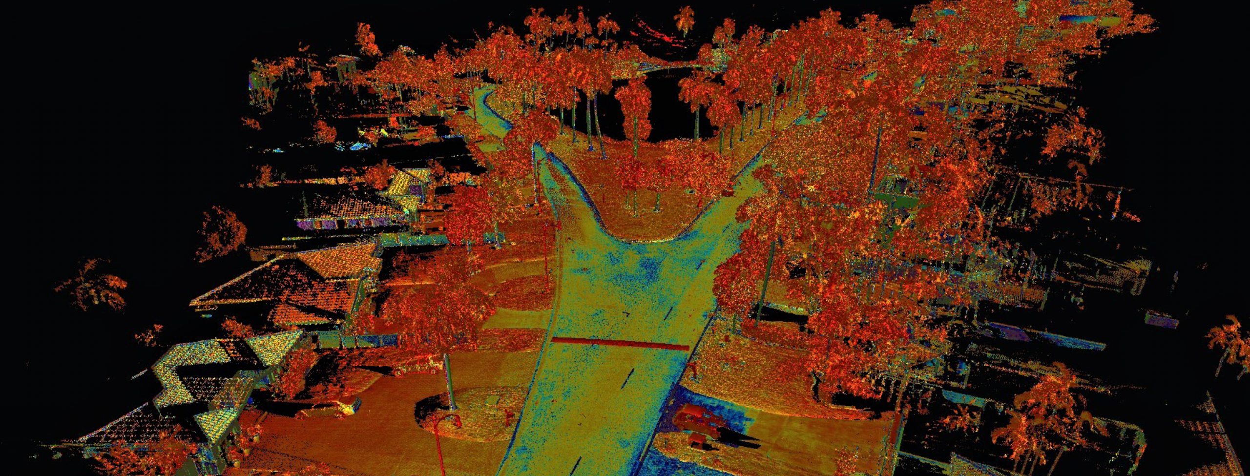
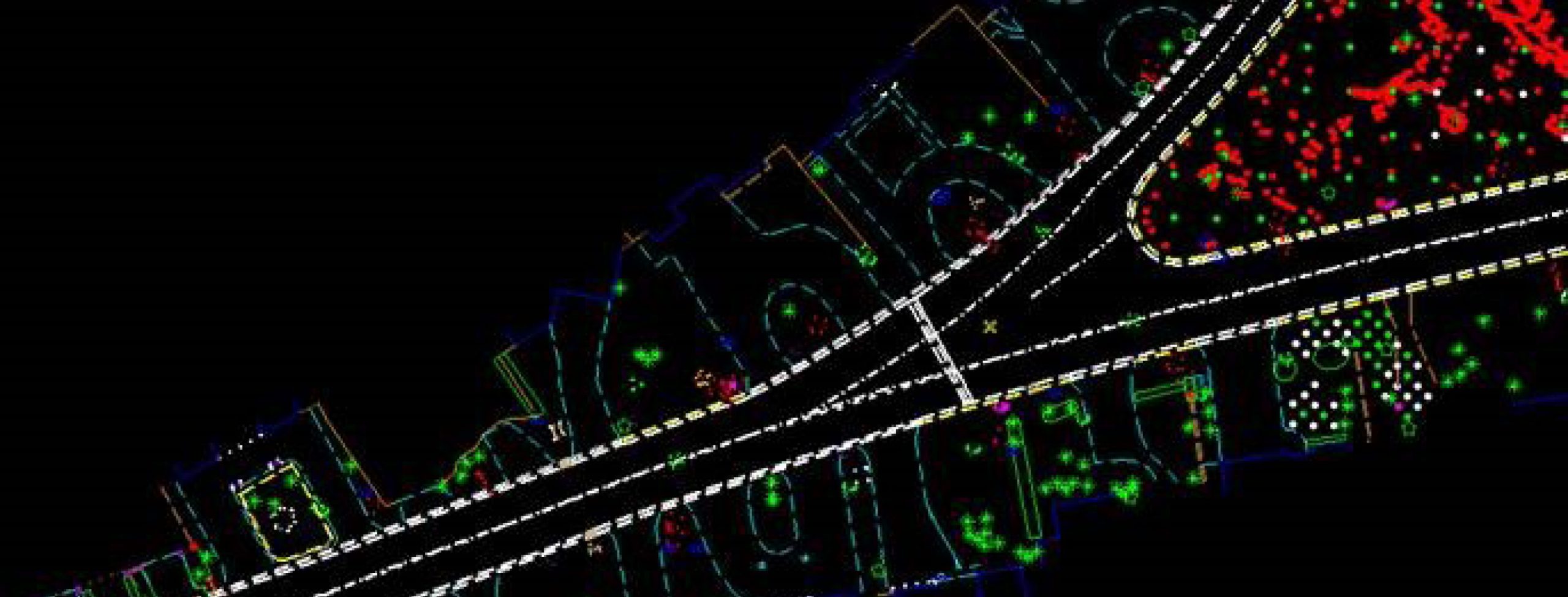
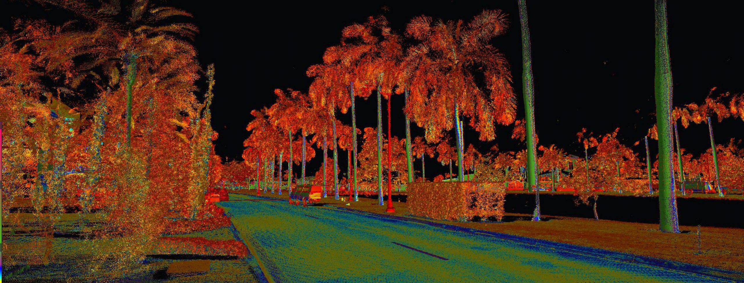
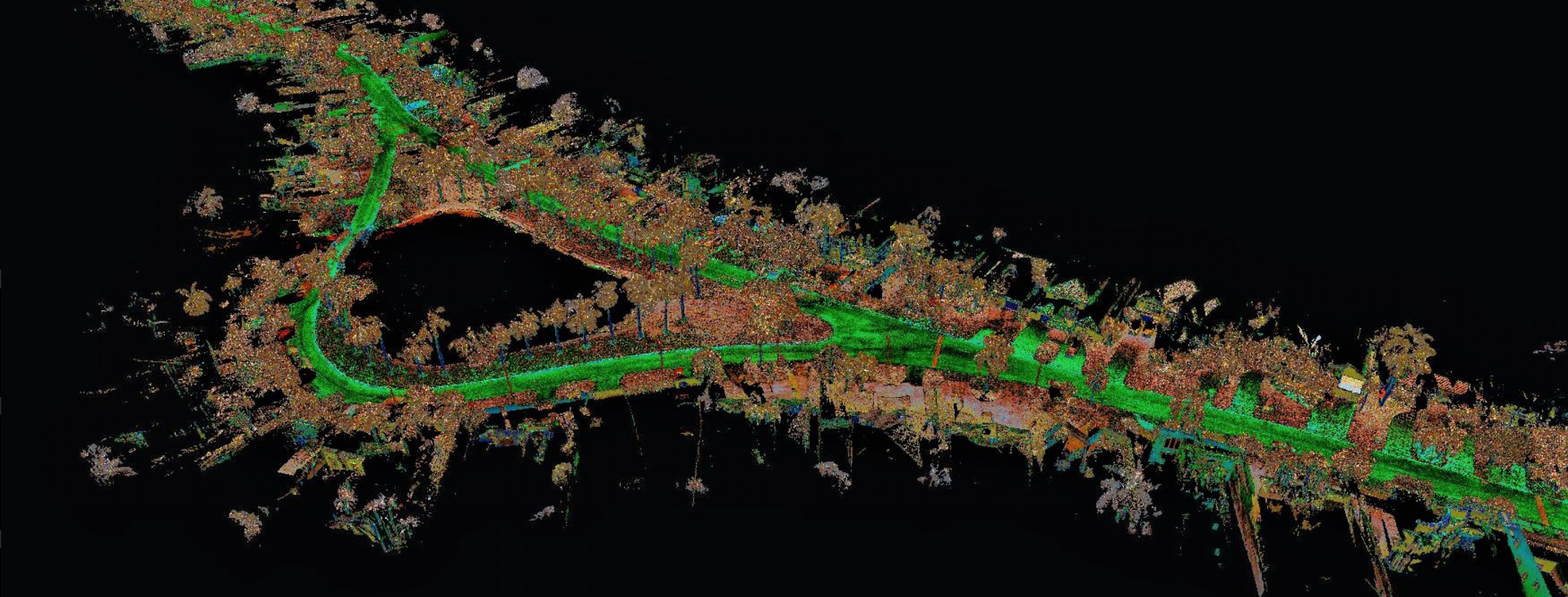
As part of a districtwide general engineering consultant contract, FR Aleman performed 3D Design/Topographic and Drainage Surveys of the approximately 1-mile project area within the Atlantic Isles neighborhood in Sunny Isles, Florida. The project area was scanned with terrestrial/mobile LiDAR, collecting one million points of data per second and photographic images. Obstructed areas were scanned with a static LiDAR scanner to pick up any missed data. After the data was acquired, FR Aleman’s Certified Survey Technicians post processed and adjusted the point cloud to the control points, creating a final calibrated 3D point cloud. From this point cloud, a 3D Topographic Survey was created. Using artificial intelligence, FR Aleman automatically extracted above ground features from the LiDAR point cloud, such as buildings, paved areas, curbs, sidewalks, fences, manholes, valves, fire hydrants, meter boxes, electrical pull boxes, telephone/cable risers, and utility poles. A total of 33 storm sewer structures were located obtaining XYZ information. Using an inverted static LiDAR scanner, manholes were scanned and 3D structures were shown on the final survey. For Subdivision Locations, FR Aleman searched for the front boundary corners of approximately 50 properties to validate the Right-of-Way lines. FR Aleman used tablets with Survey123 in the field to collect drainage structure information, including photos of the structure and surrounding area. Survey123 collects the GPS location of each structure to be used in a GIS database.
