Client
Miami-Dade Water & Sewer Department
Location
Aventura, FL
Market
Water & Wastewater
3D Design/Topographic Survey of Water Main on Turnberry Island
The overall project is part of Miami-Dade County Water & Sewer Department’s Capital Improvement Plan to provide engineering services for the rehabilitation, replacement, and new water distribution and sewage collection and transmission facilities with pipe diameters less than 36-inches in diameter.
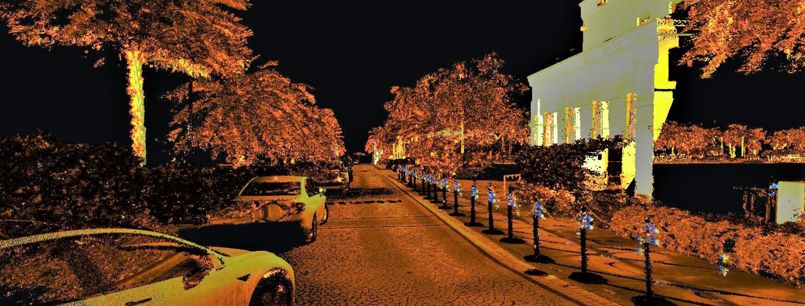
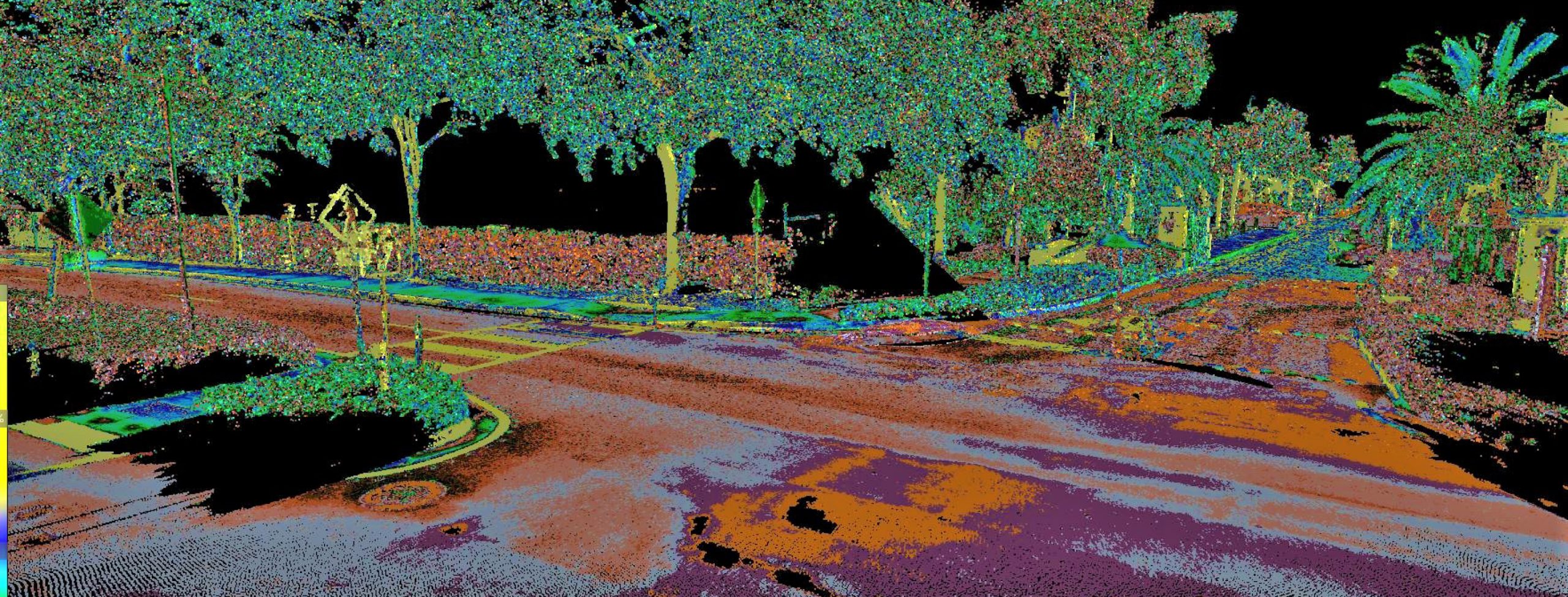
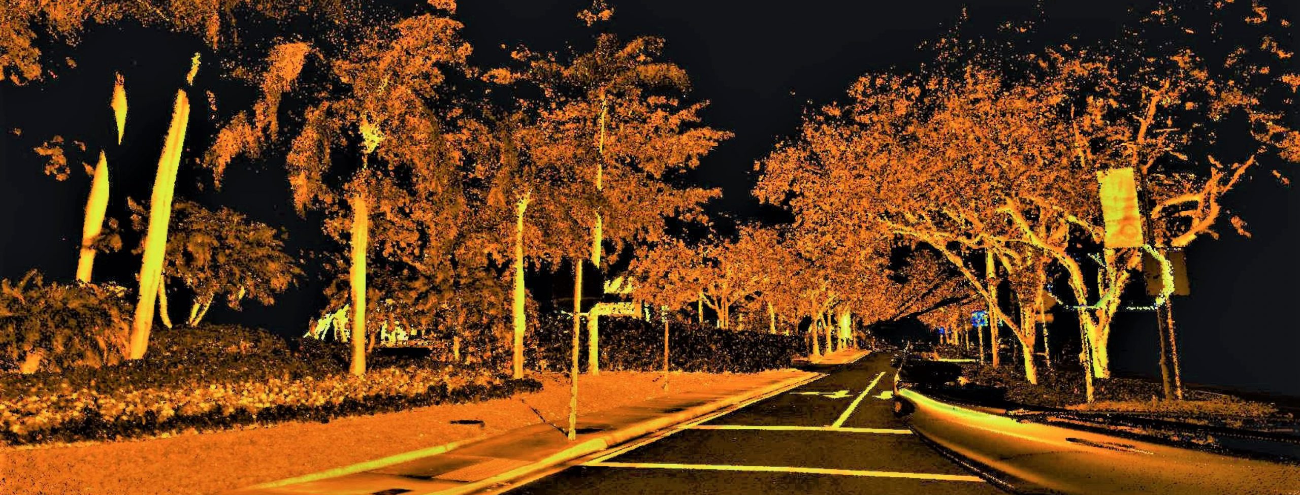
Design/Topographic Survey: FR Aleman performed 3D Design/Topographic and Drainage Surveys of the 6,000-foot water main on Turnberry Island. The project area was scanned with terrestrial/mobile LiDAR, collecting one million points of data per second and photographic images. Obstructed areas were scanned with a static LiDAR scanner to pick up any missed data. After the data was acquired, FR Aleman’s Certified Survey Technicians post processed and adjusted the point cloud to the control points, creating a final calibrated 3D point cloud. From this point cloud, a 3D Topographic Survey was created. Using artificial intelligence, FR Aleman automatically extracted above ground features from the LiDAR point cloud, such as buildings, paved areas, curbs, sidewalks, fences, manholes, valves, fire hydrants, meter boxes, electrical pull boxes, telephone/cable risers, and utility poles. A total of 53 drainage and 25 sanitary and storm sewer structures were located obtaining XYZ information. Sketches and Legal Descriptions were provided for the proposed easements running along private properties. To prepare these, FR Aleman prepared a Boundary closure for the 8 parcels that were affected by the proposed pipeline. FR Aleman also performed Sectional Survey and Subdivision Location. FR Aleman used tablets with Survey123 in the field to collect drainage structure information, including photos of the structure and surrounding area. Survey123 collects the GPS location of each structure to be used in a GIS database.
SUE: FR Aleman provided SUE services to locate identified utilities and designate sufficient locations to delineate the existing underground utilities, via GPR and vacuum excavation test holes. A total of 22 test holes were dug to provide the horizontal and vertical location of each utility. Several of the proposed test hole locations had saltwater intrusion. To overcome this challenge, FR Aleman used 16-inch PVC pipes to perform the test holes. Several of the requested locations included empty conduit runs. To help detect utilities in these areas and verify their exact underground locations, FR Aleman inserted a high frequency sonde into the empty conduits. Designated/marked lines were surveyed and incorporated into the Survey File. Our hybrid cross-trained field crews used cloud-based smart devices with GIS-based Survey123 to collect real-time data. 3D Test Hole Reports with thorough utility information, such as a description, pipe size, utility owner, condition, horizontal and vertical location, a sketch of the surrounding area, photos, and GPS coordinates were provided to the client.


